Transform Images into Geospatial Intelligence.
GeoSpy utilizes cutting-edge Visual Language Models to analyze images and deliver precise geolocation data.
GeoSpy Puts the Power of Geolocation in Your Hands.
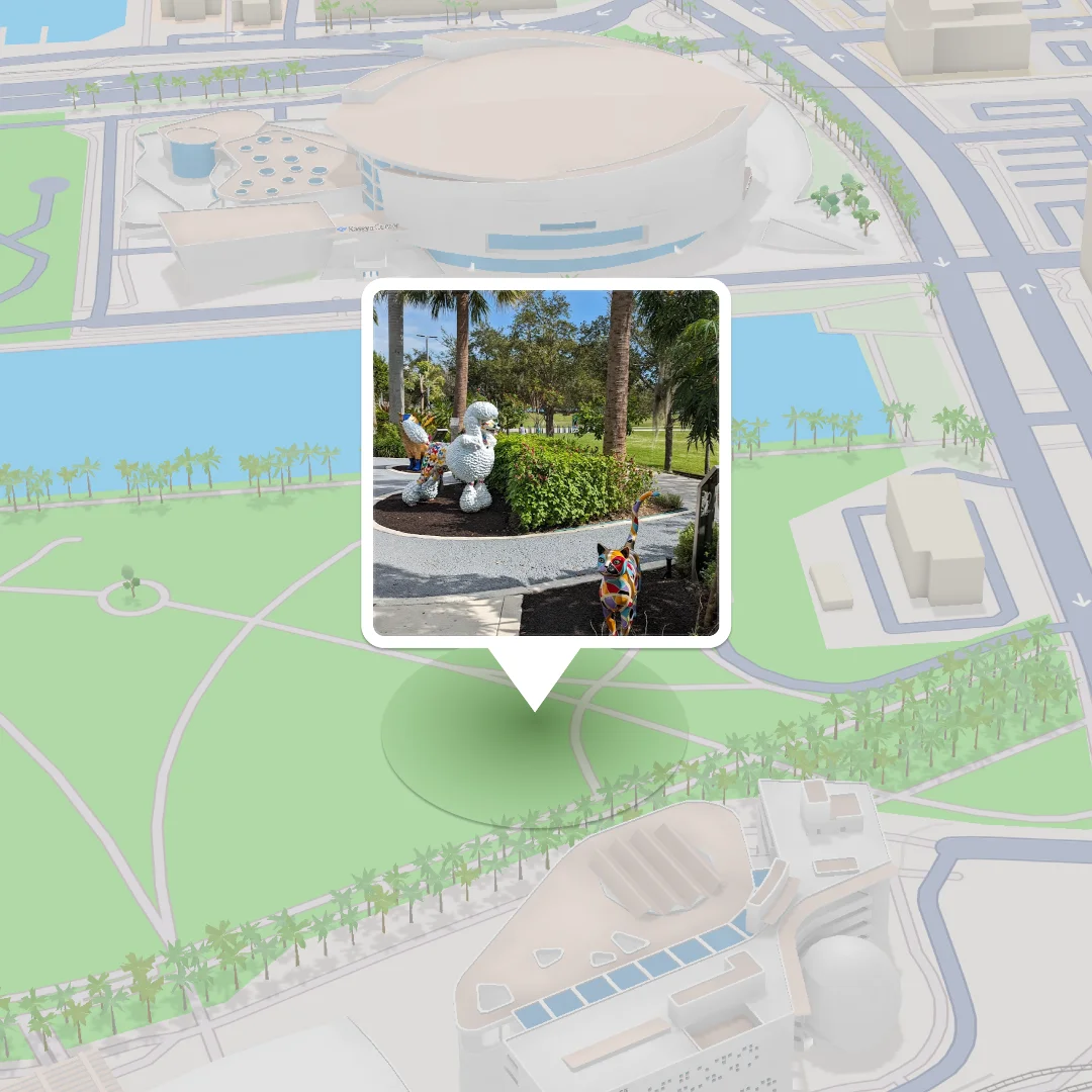
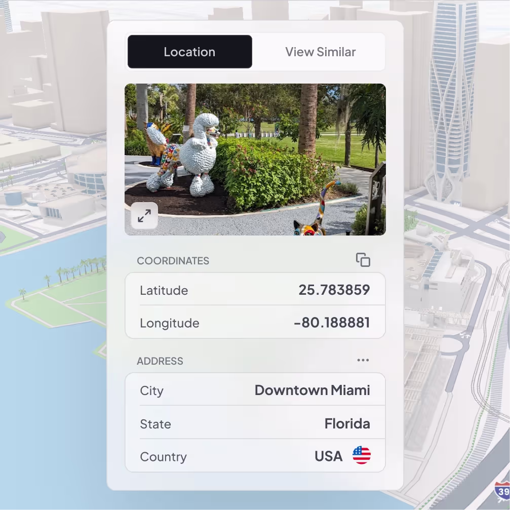
Pinpoint Any Outdoor Photo
Leverage AI-powered analysis to identify locations down to city-level accuracy.
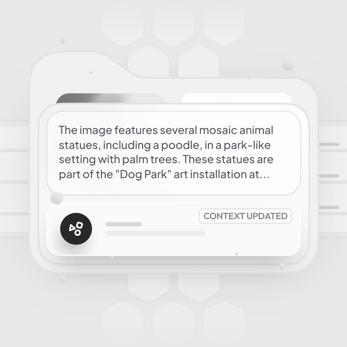
Get Clarity You Can Trust.
Understand why and how predictions are made with transparent reasoning.
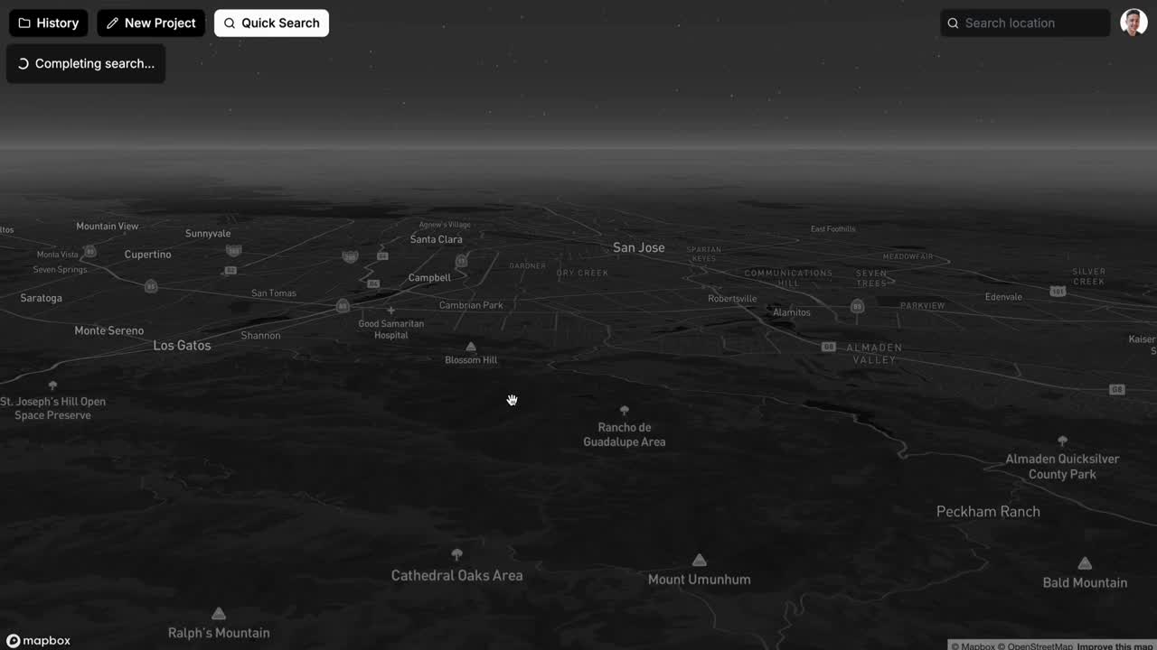
Instant Answers for Critical Decisions
Process images instantly for real-time decision-making.
Why Leading Organizations Trust GeoSpy.
GeoSpy revolutionizes geolocation investigations by harnessing the power of AI. Experience faster, more accurate results that empower your decision-making.
Faster Investigations
Reduce manual work and accelerate results with AI-powered geolocation. GeoSpy streamlines your workflow, allowing you to focus on what matters most.
Enhanced Accuracy
Pinpoint locations with unmatched precision, even in complex visual environments. GeoSpy ensures you have the clarity needed to make informed decisions.
Transparent Results
Every prediction generated by GeoSpy includes clear reasoning for complete transparency. Trust in the insights you receive to guide your actions.
Built for Scale
GeoSpy’s tools are designed to seamlessly support users from individual analysts to global teams. Scale your investigations effortlessly without compromising quality.
Built to Solve Challenges
Transforming data into actionable insights for critical missions.

Intel for Defense
Support critical missions by locating assets, threats, and key targets using advanced geolocation. GeoSpy empowers defense professionals with precise, real-time insights.

Corporate Intel
Uncover fraud and supply chain anomalies with precise image analysis using GeoSpy's advanced capabilities.
Environmental Monitoring
Identify locations in remote or damaged areas for effective resource planning and response strategies.
Frustrated by Slow, Inaccurate Tools?
Are you tired of wasting precious time on manual geolocation? Other tools often lack transparency, leaving you uncertain about your results.
Save Time
Manual geolocation takes too much time and effort, hindering your operational efficiency.
Gain Transparency
Other tools lack transparency and leave you guessing about the accuracy of your data.

Trusted by Leading Organizations Worldwide
Integrate
+ Deploy
Transforming Geospatial Intelligence
Short heading goes here
Lorem ipsum dolor sit amet, consectetur adipiscing elit.
Flexible Deployment. Seamless Integration.
Lorem ipsum dolor sit amet, consectetur adipiscing elit.

Cloud-Based or On-Premises: Your Choice
Lorem ipsum dolor sit amet, consectetur adipiscing elit.

API Access: Effortless System Integration
Lorem ipsum dolor sit amet, consectetur adipiscing elit.
Call to action headline
Unlock the power of geospatial intelligence with GeoSpy.