Transform Images into Geospatial Intelligence.
GeoSpy utilizes cutting-edge Visual Language Models to analyze images and deliver precise geolocation data.
Powerful Features.
Endless Possibilities.
Unmatched geolocation intelligence at your fingertips.
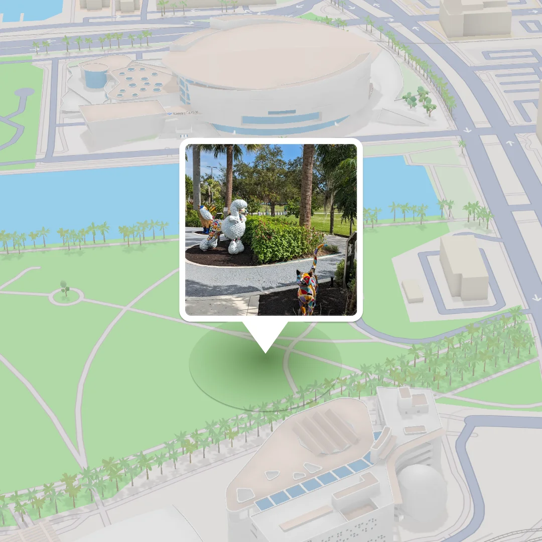
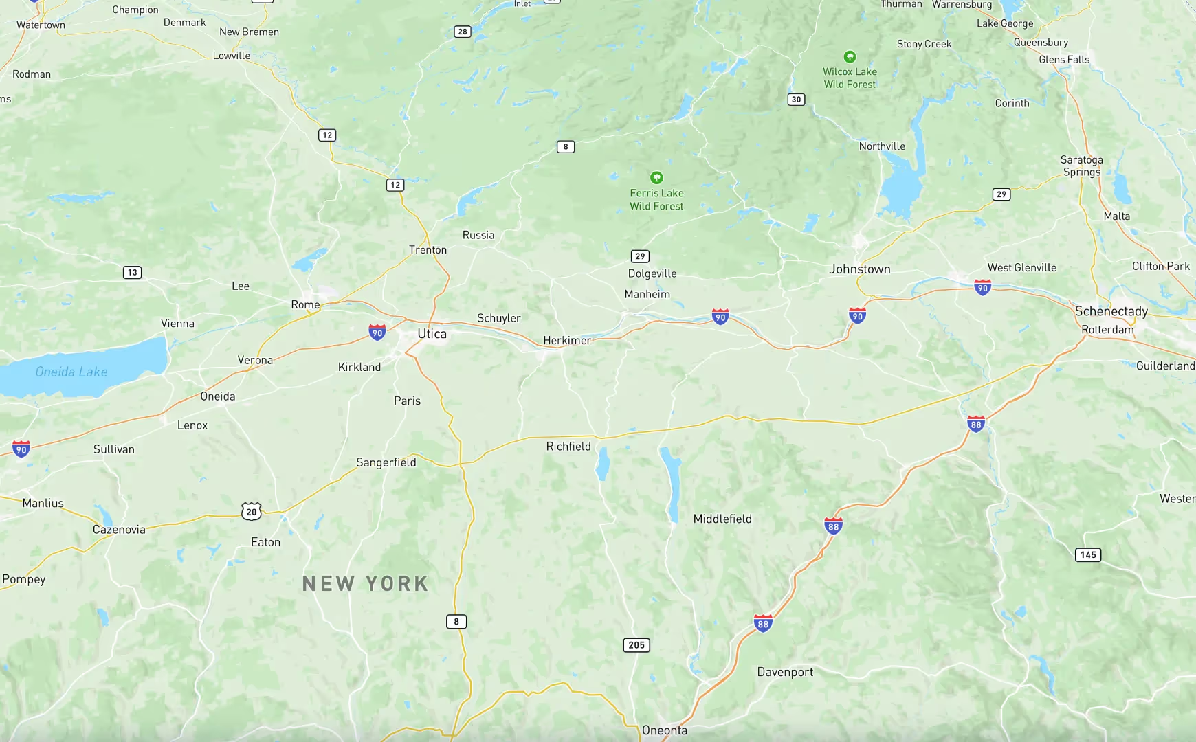
Locate any target around the world
Retrieve country and city-level geolocation with detailed reasoning behind predictions.

Transparency you can trust
Every result comes with a detailed explanation, building confidence in critical decisions.
Medium length section heading goes here
From environmental research to operational planning, GeoSpy adapts to your needs.
Discover Precision. Empower Decisions.
GeoSpy stands as the premier platform for geolocation intelligence, designed to empower government agencies and research teams. Its cutting-edge capabilities ensure that users can trust the insights derived from complex data.


Unleash Geolocation Intelligence
Transforming data into actionable geospatial insights.
Advanced Features of GeoSpy
GeoSpy is the premier platform for geolocation intelligence. Its cutting-edge capabilities empower government agencies and research teams with reliable insights.
Contextual Image Analysis
Leverages advanced VLMs to analyze architecture, environmental features, and cultural elements for deeper insights.
Medium Length Headline
Provides clarity behind every prediction to ensure informed decision-making for users.
Faster, Smarter Decision-Making
Whether it’s pinpointing geospatial locations or analyzing critical patterns, Graylark empowers decision-makers to act at the speed of need
For Governments
In the world of defense, every second matters. Graylark’s precision AI tools empower you to act decisively, transforming raw data into actionable intelligence when it matters most.
For R&D
Our AI solutions are built to simplify complexity and accelerate innovation. Whether optimizing workflows or driving new breakthroughs, we provide the tools you need to stay ahead.
Elevate Your Capabilities
Unlock unlimited potential with advanced geolocation intelligence.
Unlock the Power of Geolocation Intelligence
GeoSpy offers unparalleled geolocation insights that empower decision-making. Trust in its advanced capabilities to enhance your operational effectiveness.
Enhanced Accuracy
Achieve pinpoint precision in identifying and tracking critical locations.
Rapid Insights
Receive real-time data to make informed decisions quickly.
Here is a step-by-step section
How It Works
Upload images effortlessly via drag-and-drop or connect directly through our API for seamless integration.
Analyze Context
GeoSpy utilizes advanced VLMs to extract key features and provide context from your images.
Receive Results
Get detailed location predictions along with confidence scores and reasoning for informed decision-making.
Act with Confidence
Leverage GeoSpy insights to drive impactful results and enhance your operational effectiveness.
Customer Testimonials
GeoSpy has transformed our approach to geolocation intelligence.

Questions?
GeoSpy is an advanced geolocation intelligence platform designed to provide real-time insights. It empowers users with precise data for informed decision-making. Trusted by government agencies, it enhances operational efficiency and situational awareness.
GeoSpy is tailored for government agencies, research teams, and OSINT investigators. Its user-friendly interface makes it accessible for professionals across various sectors. Whether for defense or intelligence, GeoSpy meets diverse geospatial needs.
GeoSpy utilizes cutting-edge AI algorithms to analyze geospatial data. It processes vast amounts of information quickly, providing actionable insights. This ensures users can make timely, informed decisions in critical situations.
GeoSpy enhances situational awareness and decision-making capabilities. Its precision-driven insights help identify and mitigate threats effectively. By streamlining intelligence gathering, it saves time and resources for users.
Yes, GeoSpy prioritizes security and data integrity. It employs robust encryption and compliance measures to protect sensitive information. Users can trust GeoSpy to maintain confidentiality while delivering critical insights.
Call to action
Lorem ipsum dolor sit amet, consectetur adipiscing elit. Suspendisse varius enim in eros elementum tristique.